Forecast low likelihood of rain and hot temperatures
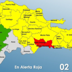
The National Meteorological Office (Onamet) reported that there would be low probabilities of significant rainfall in most of the country because the tropical wave has left our forecasting area.
“However, due to the dragging of cloud fields caused by the east/southeast wind, there will be slight increases in cloudiness with local showers and isolated thunderstorms towards the northeast, southeast, and the Central Mountain Range, especially after noon,” said the Onamet.
The office also indicated that for tomorrow Monday, good weather conditions are expected in the morning hours with occasional cloudy periods with local downpours, thunderstorms, and wind gusts sometimes towards the northeast, southeast, Central Mountain Range and Greater Santo Domingo in the afternoon as a result of the approach of a tropical wave and the transport of humidity associated to the east/northeast wind.
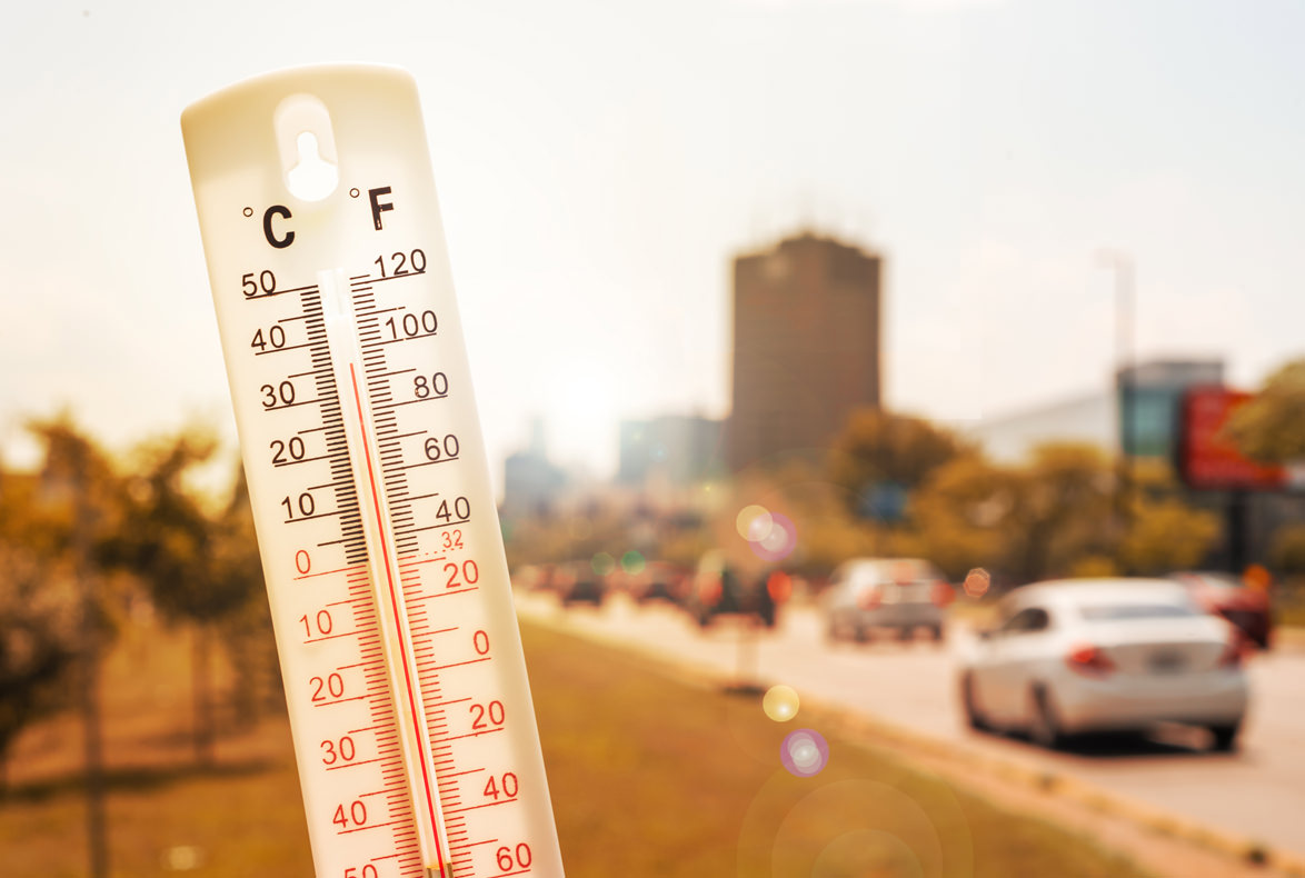
Onamet added that temperatures would remain warm, especially during daylight hours. Therefore, it recommends that the population drink enough liquids, wear light clothes, preferably light color, and avoid prolonged exposure to the sun between 11:00 am and 4:00 pm.