Break out your umbrella! ONAMET predicts rains today through Sunday
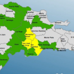
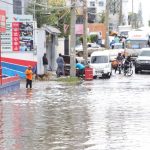
The National Meteorological Office (ONAMET) forecasts that for today Friday, a tropical wave will continue to generate cloud increases from early hours of the day, accompanied by moderate to intense rainfalls at times, electrical storms, and wind gusts towards different provinces of the; Northeast, Southeast (including Greater Santo Domingo), Southwest, the Central Mountain Range, and the border area regions among other nearby locations.
Tomorrow Saturday, there will be sufficient humidity in the air mass, after the passage of a new and active tropical wave, to generate significant cloud increases with local moderate to intense rainfalls at times over the provinces of the; Northeast, Southeast (including in the Great Santo Domingo) and the Central Mountain Range, extending gradually to other regions.
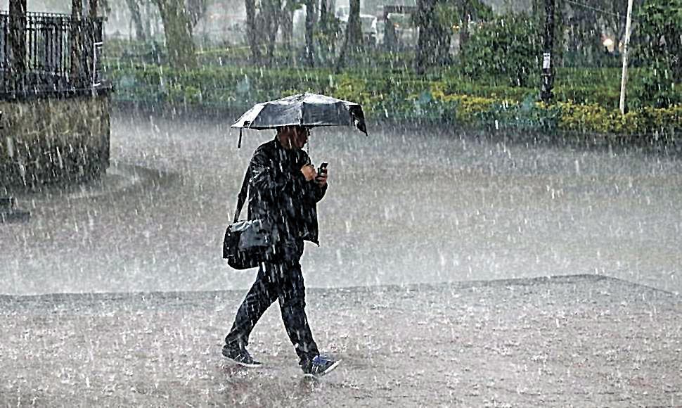
On Sunday, the weather conditions will present lower humidity content than yesterday. However, there will remain enough to cause increases in cloudiness with scattered downpours and thunderstorms towards different locations in the northeast, southeast, the Cordillera Central, and some sectors of the border area, mainly in the afternoon.
The office follows the development of a large area of downpours and thunderstorms near the Lesser Antilles, associated with an active tropical wave. The storm has a high probability (70%) to become a tropical cyclone during the next five days as it moves through the Caribbean Sea waters.