Trough continues to affect the country; flood alert maintained for 13 provinces
Santo Domingo, DR
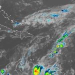
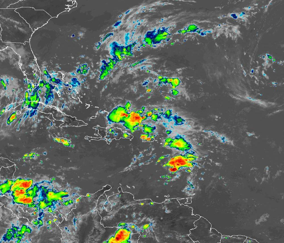
The workweek begins with the permanence of a trough at different levels of the troposphere, as well as the moisture left by the tropical wave after passing through the national territory, so locally moderate downpours with thunderstorms and isolated wind gusts will continue, being more frequent and intense in the afternoon over different provinces of the regions; northeast, southeast, north, northwest, the Central Cordillera and the border area.
The National Meteorological Office (Onamet) maintains an alert for floods and landslides for 13 provinces. These are Monte Plata, La Vega, Monseñor Nouel, Hato Mayor, Samaná, María Trinidad Sánchez, Sánchez Ramírez, Santiago Rodríguez, Dajabón, Duarte, San Pedro de Macorís, San Cristóbal and Greater Santo Domingo.
“Tomorrow, Tuesday, the trough will continue to influence weather conditions to generate mainly afternoon cloud increases with rainfall that could be moderate to locally heavy with thunderstorms and wind gusts in different regions of the national territory again.”
Other phenomena
Onamet reports that Tropical Storm Nicholas was located about 75 km southeast of Boca del Rio Grande this morning. This phenomenon does not present danger to the Dominican Republic.
Additionally, a tropical wave is forecast to emerge from the western part of Africa in the next 48 hours with a (20%) of becoming a tropical cyclone and 70% during the next five days.
Meanwhile, an area of downpours with thunderstorms, associated with an area of non-tropical low pressure in the northeast corner of the Atlantic, has a low probability of 0% in 48 hours to become a tropical cyclone. An area of low pressure north of The Bahamas has a (0 %) of becoming a tropical cyclone in 48 hours and 50% during the next five days.