Drink plenty of water! The heat will continue this Sunday
Today's going to be a hot one!
An environment with scarce precipitation will characterize weather conditions as a result of the mixture of Saharan dust particles with the incidence of the anticyclonic circulation that manifests itself at various levels of the troposphere, informed the National Meteorological Office.
Onamet forecasts that a very dry air mass will limit cloud formations and rainfall activity in almost the entire national geography. However, it does not rule out the presence of local showers and thundershowers in the late afternoon in the northwest region and the Central Cordillera; due to daytime warming, the orography of the area, and the humidity brought by the prevailing wind from the east/southeast.
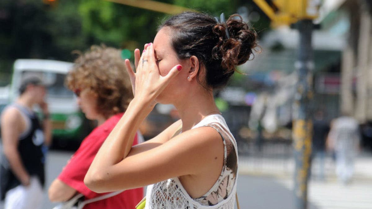
The temperatures will be very hot; ONAMET recommends the Dominican population stay hydrated, wear light clothing, preferably light colors and avoid direct exposure to sunlight without proper protection for prolonged periods, between 11:00 am to 4:00 pm. In addition, children and elderly people should be prioritized in the recommendations.
Monday: a tropical wave will be passing to the south of the territory, with its greatest cloud activity in the Caribbean Sea. Scattered showers, thundershowers, and isolated wind gusts are expected to occur in the late afternoon, mainly over the northeast, southeast, southwest, northwest, and Central Cordillera.