
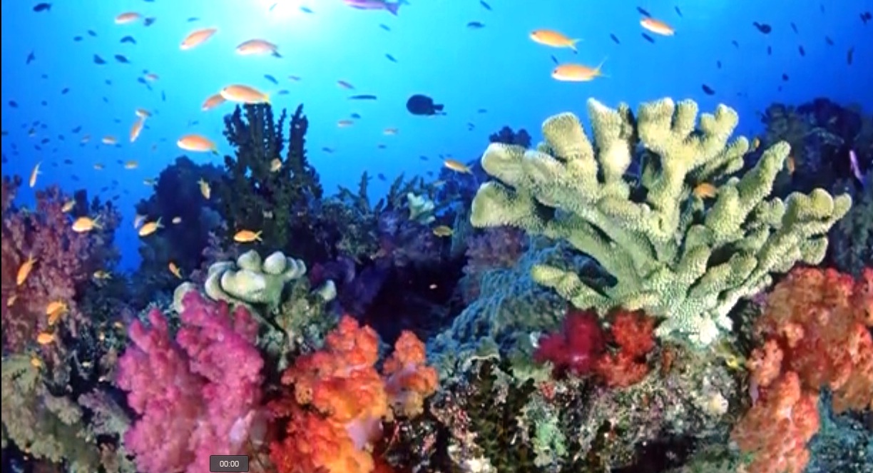
State of concern: Dominican North Coast reefs
Santo Domingo.- The National Authority for Maritime Affairs of the Dominican Republic (Anamar) presented a report entitled “Current status of the Banco de la Plata Reefs, Dominican Republic: Expedition April 2022,” with the participation of a multidisciplinary team that carried out a survey in a portion of the Banco de la Plata in the north of the Dominican Republic, where technicians from the Dominican Foundation for Marine Studies (Fundemar) also participated.
For Anamar, this study is a rapid evaluation that serves as a baseline for the description of the current condition of the coral and fish communities of the Banco de la Plata, including universal indicators of reef health, such as the structure of the benthic community and abundance and richness of coral and fish species, as well as disease prevalence.
The Banco de la Plata is part of the Banco de la Plata and Navidad Marine Mammal Sanctuary, created by decree No. 319 of October 14, 1986, one of the first protected areas of this nature established worldwide, in addition to being the largest marine protected area in the Dominican Republic and the first marine mammal sanctuary in the Atlantic Ocean.
In addition, every year hundreds of humpback whales (Megaptera novaeangliae) migrate from the North Atlantic, where they mate and give birth, both in the Banco de la Plata, La Navidad and the Bay of Samaná.
It is an open water reef complex, located 65 nautical miles north of the Dominican Republic from the nearest point of land and averaging 35 nautical miles in widthIt is an open water reef complex, located 65 nautical miles north of the Dominican Republic from the nearest point of land and averaging 35 nautical miles wide in a northwest/southeast direction, and averaging 30 nautical miles long in a northeast/southwest direction.
The report details that, in this study, sites located in the northern area of the Banco de la Plata were characterized, as well as in the interior of the western margin of the Bank. The evaluated sites were selected based on the existing bathymetric maps in the Navionics application for the Bank, as well as for being used for tourism purposes, and finally for logistical limitations related to safe access and the time available for navigation.


what did the report say ?????