Earthquake in Haiti: The first photos of how the country is doing
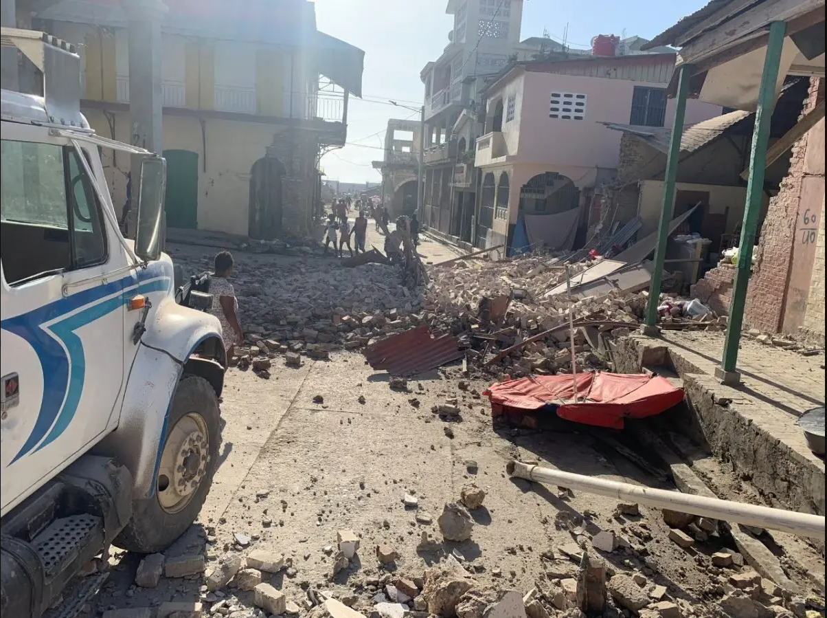
PORT-AU-PRINCE — A magnitude 7.0 earthquake was recorded off the coast of Haití on Saturday, the U.S. Geological Survey said.
According to the service, the epicenter of the quake was 12 kilometers (7.5 miles) northwest of Saint-Louis du Sud.
Residents of Port-au-Prince, the capital, felt the tremor, and many took to the streets in terror.
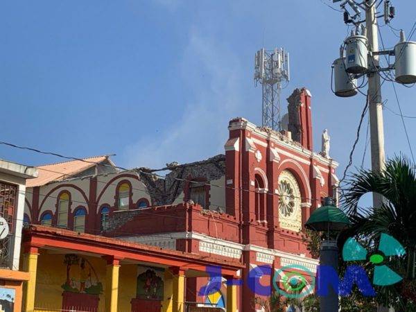
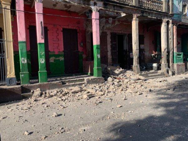
The United States Geological Survey (USGS) considered on Saturday that it is “likely” that the earthquake will leave “a high number of victims,” in addition to “significant” material damage.
ACCORDING TO THE INFORMATION, the USGS made those forecasts shortly after reporting on the quake, which was recorded at 8:29 a.m. local time (12:29 GMT) northeast of Saint-Louis du Sud and had a depth of 10 kilometers.