
Rains and Indomet monitors three systems with cyclonic potential


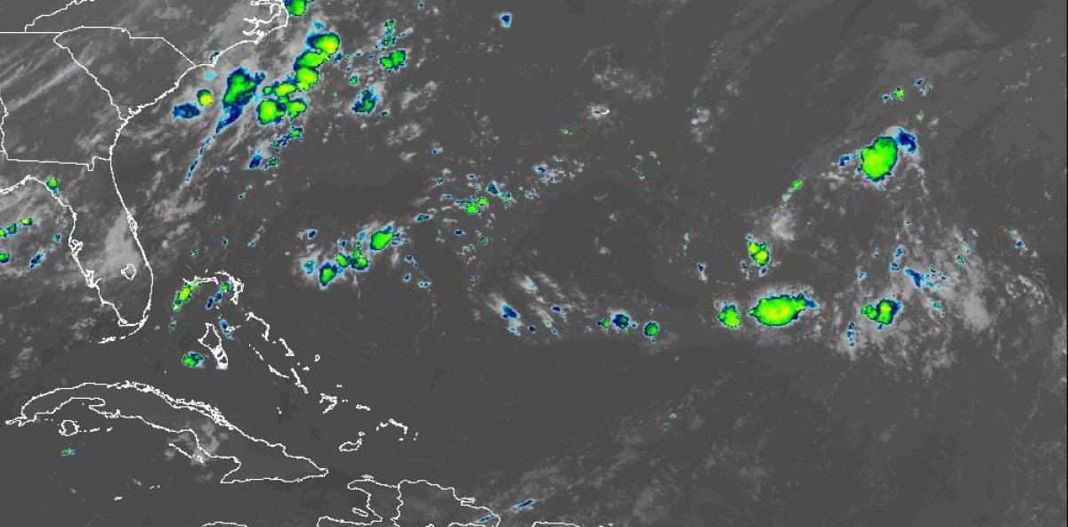
Santo Domingo, D.R., Saturday, August 22, 2026. – The Dominican Institute of Meteorology (Indomet) reported that this Saturday showers and scattered downpours with thunderstorms are forecast in several locations of the country, due to the incidence of a trough and daytime heating.
The institution explained that during the morning hours, isolated showers and thunderstorms are expected to affect the towns of La Altagracia, La Romana, El Seibo, Higüey, and Samaná, associated with cloudiness carried by the wind.
He pointed out that, after noon, the effects of the trough and the daytime heating will favor increases in cloudiness, with scattered downpours, thunderstorms and possible gusts of wind towards San Pedro de Macorís, Monte Plata, San Cristóbal, La Vega, Monseñor Nouel, Azua, San Juan, Elías Piña and Greater Santo Domingo, which will decrease at the end of the afternoon.
He indicated that, during the night and early morning, scattered showers are expected in localities in the eastern and northeastern portion of the country.
As for temperatures, the agency stressed that they will remain high, with a high thermal sensation. Given these conditions, Indomet recommends that the population drink water frequently, wear light, loose-fitting, light-colored clothing, avoid direct exposure to solar radiation without proper protection, and try to stay in cool, well-ventilated places.
Regarding maritime conditions, on the Caribbean coast, specifically south and southwest of Pedernales, the agency recommended that operators of fragile, small, and medium-sized boats navigate with caution near the coastal perimeter and avoid venturing out to sea due to abnormal wind and waves. This recommendation could be discontinued in the late afternoon.
The rest of the Caribbean coast and the Atlantic coast remain unrestricted for navigation.
Cyclone watch
The institution reported that a tropical wave is expected to move off the coast of Africa early next week. Subsequently, a low-pressure area could form, with a 20% chance of reaching tropical cyclone status over the next seven days. Due to its position, it is important to monitor its evolution.
It also indicated that it is monitoring two areas of heavy rainfall and disorganized thunderstorms, with low potential to become a tropical cyclone over the next 48 hours. The first is located northeast of the Azores, with a 20% probability, and the second is located east/southeast of Bermuda, with a 10% probability. These phenomena do not represent a danger to the Dominican Republic.
Indomet urges the population to keep an eye on weather information through its www.indomet.gob.do web portal and its social networks @indometrd.