
Tropical wave will generate downpours this afternoon; Tropical Storm Dolly Watch


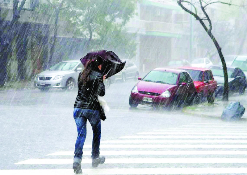
Tropical Storm Dolly is still under watch, according to the Dominican Institute of Meteorology (Indomet). This Saturday, rain and quite hot weather are expected.
In the afternoon, a tropical wave will bring scattered showers and isolated thunderstorms until the early hours of the night over El Gran Santo Domingo, Hato Mayor, Monte Plata, Sánchez Ramírez, Monseñor Nouel, La Vega, San Juan, Elías Piña, and Dajabón.
Minimum temperatures range from 24 °C to 26 °C, and maximum temperatures range from 34 °C to 36 °C.
Provinces
The provinces of Santiago, Puerto Plata, Duarte, Constanza, Peravia, San Pedro de Macorís, La Romana, La Vega, Monseñor Nouel, San Cristóbal, Samaná, Monte Cristi, Azua, San Juan, Barahona and La Altagracia will have an increase in clouds and rain in the afternoon.
The Dolly wave is still under surveillance
The tropical wave (remnants of the tropical storm) is located several hundred kilometers east of the Lesser Antilles. It has a probability (although minimal) that it will reach the category of tropical cyclone again in the coming days (less than 10%), but it is expected to generate heavy rains over the northeast and north of the Caribbean. Given its location and potential displacement, it is important to monitor its evolution.
Another disturbance is also reported located over the Gulf of America with low potential to reach tropical cyclone status in the coming days. Due to its position and displacement, it does not pose a danger to the country.
The weather is still hot in the DR
Temperatures will remain high, with suffocating heat. Therefore, INDOMET recommends drinking plenty of water, wearing light, loose-fitting, light-colored clothing, and avoiding direct sun exposure without proper protection.
Children, pregnant women, and older adults are more vulnerable to the effects of high temperatures.