
Be aware this afternoon: a trough will bring downpours to several provinces


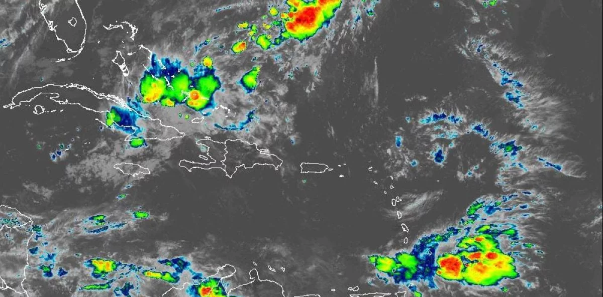
The Dominican Institute of Meteorology (Indomet) reported that this Sunday, a mostly sunny and grayish sky will prevail over much of the national territory, due to the influence of an anticyclonic system and slight concentrations of Saharan dust particles.
However, he explained that during the afternoon, an upper-level trough associated with a frontal system, combined with daytime heating and local effects, will favor downpours, thunderstorms, and wind gusts towards the interior of the country.
The agency indicated that these rains are expected in localities in La Vega, Santiago, Santiago Rodríguez, San Juan, Dajabón, Monte Cristi, Valverde, Puerto Plata, Espaillat, and other surrounding provinces, and could continue into the early hours of the night.
Hot temperatures
The agency indicated that the hot weather will continue, with a high heat index across much of the country.
Given these conditions, the public is advised to drink plenty of water, wear light, loose-fitting, light-colored clothing, avoid direct sun exposure between 11:00 am and 4:00 pm without proper protection, and try to stay in cool, well-ventilated places.
Cyclone watch
The Dominican Meteorological Institute (Indomet) reported that Tropical Depression Fay remains over open waters of the Atlantic, more than 1,840 kilometers west of the Azores, with maximum sustained winds of 55 km/h, and is moving south at 6 km/h. Due to its position and trajectory, this system poses no threat to the Dominican Republic.
The agency also reported a low-pressure area southeast of Bermuda, with a 10% chance of developing into a tropical cyclone within the next 48 hours and a 20% chance within the next7n days. Due to its position and projected path, this system also poses no threat to the country.