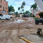
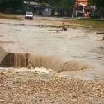
Showers and high temperatures today throughout Dominican Republic
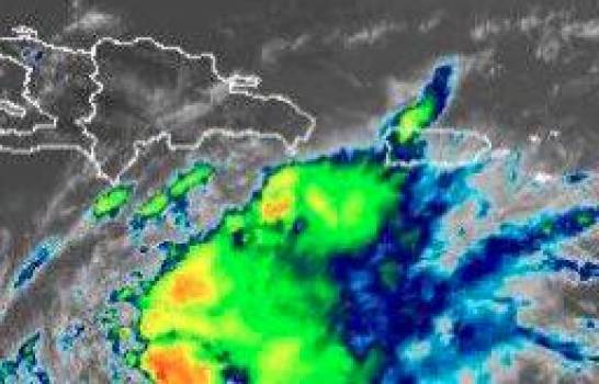
Map of the path of the tropical wave. (EXTERNAL SOURCE )
The National Meteorological Office (ONAMET) predicted yesterday that today there will be isolated showers over the northeast, southwest, and the central mountain range.
Forecasts predict that from noon the dust from the Sahara will increase the sensation of heat and high temperatures.
The agency is monitoring a tropical wave with showers and thunderstorms, which last night was 870 kilometers west/southwest of the Cape Verde Islands, which could slowly develop in the next two days.
It has a 10 percent chance of becoming a tropical cyclone, but as the system nears the Lesser Antilles chances will be less conducive.
For tomorrow, Sunday, a hot environment will prevail and the Saharan dust particles will limit the occurrence of significant rains in much of the national territory.
However, the report states that due to the effect of the trade winds that carry clouds, scattered showers will appear in the demarcations of the northeast and the central mountain range.