

Geologist urges regional disaster response and seismic risk mapping in Dominican Republic


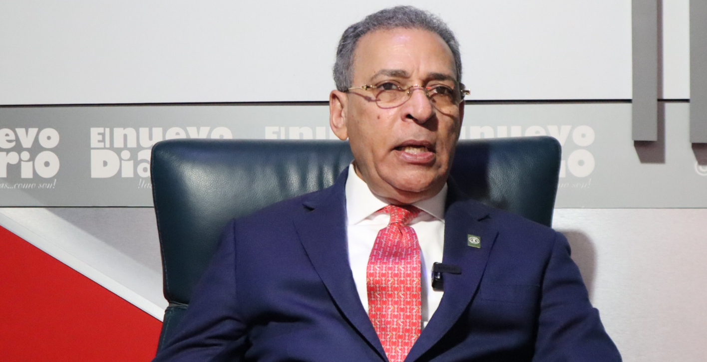
Santo Domingo.- Geologist Osiris de León is calling for a major overhaul of the Dominican Republic’s disaster preparedness strategy, urging authorities to prioritize land-use planning, seismic risk mapping, and regional emergency response teams over a centralized system.
Speaking on the program Aquí Hablamos Claro, De León said emergency response should be decentralized, with specialized multidisciplinary teams stationed across the East, Greater Santo Domingo, the Cibao region, and the Atlantic coast to ensure faster action during earthquakes, floods, hurricanes, building collapses, and other disasters.
He argued that critical decisions should be made within the first few minutes of an emergency by regional teams rather than relying on a single authority, emphasizing that rapid response can save lives.
De León also stressed the need for municipalities to adopt detailed geological risk maps and require construction projects to meet engineering standards based on local soil conditions. He noted that Greater Santo Domingo alone has dozens of different soil types that respond differently to seismic activity.
The geologist criticized what he described as the routine approval of construction projects without adequately considering seismic risks, warning that uniform building standards across varying soil conditions increase the country’s vulnerability to future earthquakes.


Yes, very needed and overdue.
The decentralized troops and their leaders on the front lines of disasters have the best insight of needed responses to emergencies.