Seven countries call for mapping and visibility of Greater Caribbean maritime territories

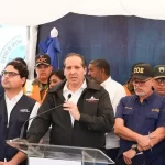
Santo Domingo.- Leaders from the Dominican Republic, French Guiana, Cuba, Haiti, Puerto Rico, Honduras, and Guatemala emphasized the urgent need to map and highlight the maritime territories of the Greater Caribbean. They proposed signing a regional agreement to regulate the use and access to these spaces, ensuring sustainable management of marine resources and incorporating Afro-descendant communities into decision-making processes.
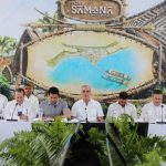
This initiative emerged during the Bicentennial Forum for Afro-descendant Reparations, held over three days in Santo Domingo, Dominican Republic. The forum hosted the first workshop on mapping maritime territories (maritorios) from the perspective of Afro-descendant communities. The workshop aimed to define cartographic categories for each country and identify key scenarios to align mapping results with the priorities of regional Afro-descendant organizations.
Darío Solano, coordinator of RedAfros, highlighted that what began as a contextual exercise for continental Afro-descendant mapping evolved into an urgent call to map and make visible the Greater Caribbean’s maritime territories. The discussions emphasized the importance of these maritories for strengthening belonging, sovereignty, and adaptive management among the communities that rely on the sea.
A key outcome was the collaborative creation of maps illustrating maritime connectivity between nations, showcasing critical marine routes and shared spaces essential for communities dependent on marine resources.