Risk of flooding Rain and low temperatures: what the cold front brings to the country and the most affected areas
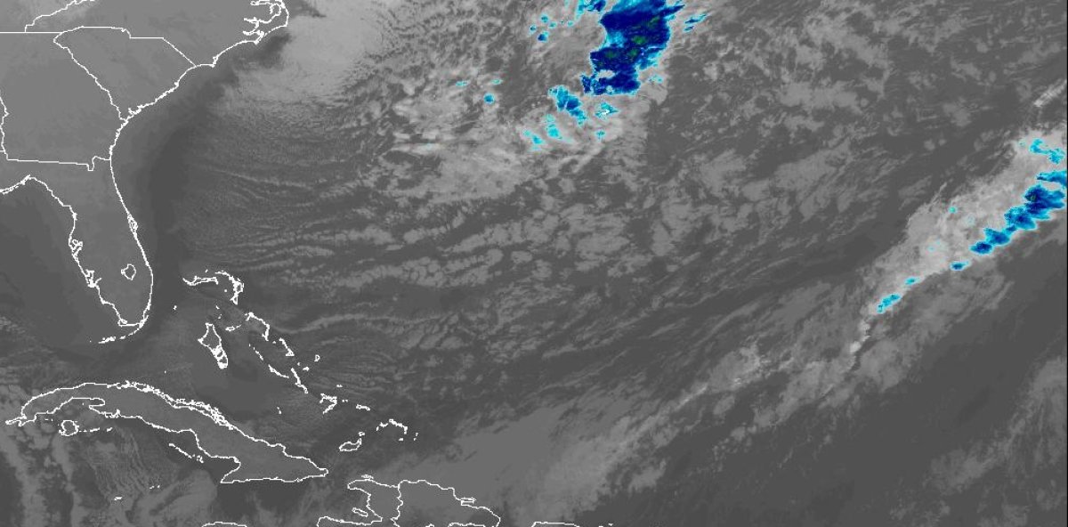
Santo Domingo, Dominican Republic, Saturday, February 7, 2026. – The Dominican Institute of Meteorology (Indomet) reported that a cold front is affecting the national territory, mainly generating cloudy skies and scattered showers in locations in the east, northeast, north, northwest, and southwest.
The entity explained that this system extends from the eastern portion of the country to the coasts of the southwest region, with a slow east/southeast movement, which favors the occurrence of scattered downpours during the course of the day, being more noticeable in provinces such as Puerto Plata, Espaillat, Hermanas Mirabal, Samaná, Hato Mayor, Monte Plata, El Seibo, San Pedro de Macorís, La Romana, La Altagracia, San Cristóbal, San José de Ocoa, Peravia, Azua, Barahona and Pedernales, as well as in Greater Santo Domingo.
In that regard, Indomet reported that its National Forecast Center maintains the meteorological alert level for the provinces of Espaillat, María Trinidad Sánchez, Duarte, Samaná, and Hermanas Mirabal, due to the risk of urban flooding.
Today
The agency indicated that temperatures will remain calm and pleasant, especially at night, and in mountainous areas and valleys in the country’s interior. It also predicted that the wind chill would make it feel even colder for the rest of the weekend as the cold front passed.
Regarding maritime conditions, the entity recommended that operators of fragile and small vessels on the Atlantic coast navigate with caution, remain close to the coastline, and avoid venturing out to sea due to abnormal waves and winds.
Indomet urged the population to stay attentive to weather information through its official channels and to follow the guidance of civil protection agencies.