Don’t forget the umbrella! Tropical wave and trough are influencing the weather in the Dominican Republic
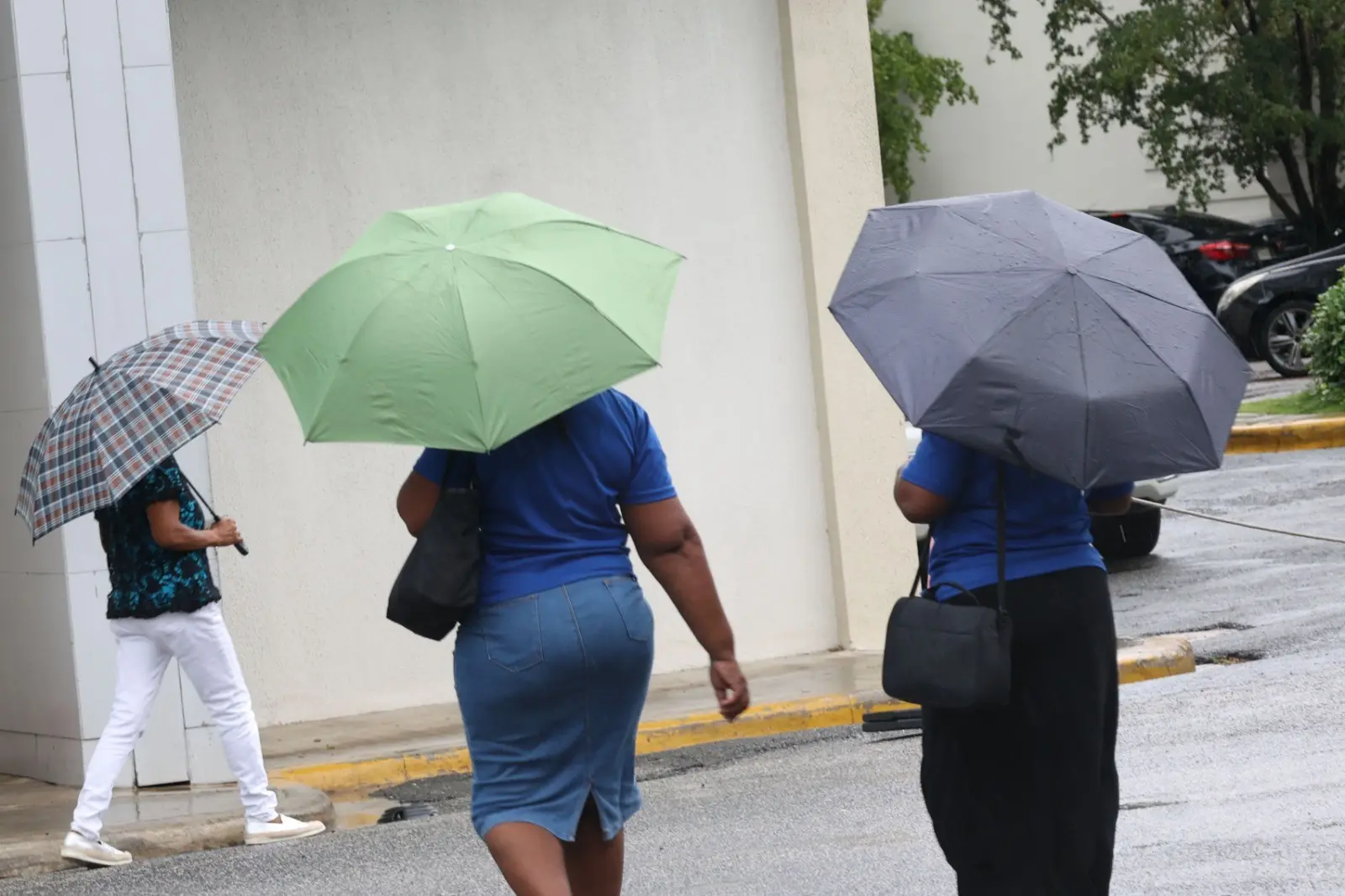
Santo Domingo – From the early hours of the day, a tropical wave with its most significant rainfall activity over the Caribbean Sea in combination with a weak trough on the surface, plus the humidity provided by the warm wind from the southeast and the local effects of daytime heating will cause occasional cloud increases with scattered downpours, being moderate to locally heavy at times with thunderstorms and possible wind gusts in different municipalities of Hato Mayor, Monte Plata, Samaná, La Altagracia, San Pedro de Macorís, El Gran Santo Domingo, San Cristóbal, Duarte, María Trinidad Sánchez, Monseñor Nouel, La Vega, Puerto Plata, Santiago, Valverde, Dajabón, Santiago Rodríguez, Barahona, San Juan, Independencia, and Monte Cristi, among others.
According to the Dominican Institute of Meteorology, such precipitation will be a little more frequent after noon over some localities in the northeast, northwest, and central Cordillera until the early evening hours.
Cyclonic Update:
- Tropical Storm Gordon, is located 1930 kilometers east of the Northern Leeward Islands, has maximum sustained winds of 65 km/h and is moving west/southwest at about 17 km/h. Due to its position, distance and displacement, this meteorological system does not represent danger for the Dominican Republic.
- A low-pressure zone is reported. It is possible that it will acquire subtropical characteristics during this weekend, resulting in a subtropical or tropical depression. The current cyclonic probability is 50% during the next 2 to 7 days.
Tomorrow Monday, from the early morning hours, a surface trough located to the northwest of the country, in addition to the warm and humid wind from the southeast, will generate locally moderate to heavy downpours at times, thunderstorms, and isolated wind gusts during the early morning hours over different towns of La Altagracia, Monte Plata, El Seibo, Samaná, Greater Santo Domingo, San Cristóbal, San Pedro de Macorís; La Romana, Santiago de los Caballeros, Puerto Plata, Monte Cristi, Azua, Peravia and Barahona, among others. Rainfall will resume after midday in different provinces of the northwest, southwest, north, Central Cordillera, and the border area. However, during the night, an air mass with lower humidity content associated with a high-pressure system will arrive. This will cause a significant decrease in rainfall in a large part of the national territory.