Saharan dust, a trough, and a tropical wave? This is how the weather will move across the country this weekend.
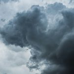
The high-pressure system dominating the North Atlantic will cause a mostly sunny, partly cloudy environment over much of the Dominican Republic, accompanied by hot temperatures and hazy skies due to the presence of Saharan dust.
According to the Dominican Meteorological Institute (INDOMET), these conditions are favorable for outdoor activities, although isolated showers could occur in the afternoon in inland provinces and Greater Santo Domingo. Clear skies are expected to return this evening.
What to expect on Saturday
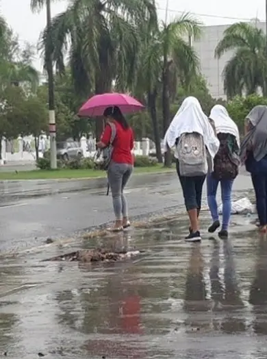
A trough will begin approaching the country, increasing humidity and causing morning rains in Atlantic coastal areas such as María Trinidad Sánchez, Samaná, and La Altagracia. After midday, showers, thunderstorms, and possible gusty winds are forecast in several provinces, including Santiago, Monte Plata, San Juan, and the Greater Santo Domingo area.
And on Sunday…
Tropical wave #12 arrives. The effects of the trough will be reinforced by the arrival of Tropical Wave #12, which will bring scattered showers and thunderstorms from the early hours of the morning, starting in the East and moving inland during the afternoon.
INDOMET also reported a low-pressure system in the northwest Caribbean Sea with a 20% chance of developing into a cyclone. For now, it poses no threat to the country.
Recommendations Due to the heat, the population is urged to stay hydrated, wear light-colored clothing, and pay special attention to children and the elderly, who are more vulnerable to high temperatures