New CORS stations strengthen Dominican Republic’s geographic infrastructure
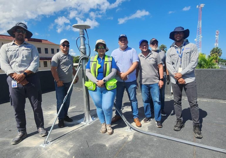
Santo Domingo.- The José Joaquín Hungría Morell National Geographic Institute (IGN-JJHM), through its Geodesy Directorate, has installed and activated two new Continuously Operated Reference Stations (CORS) in Moca and Puerto Plata. These stations, now part of the National Geodetic Network, significantly enhance the precision of geographic positioning across the Dominican Republic.
According to IGN-JJHM, this initiative forms part of an interinstitutional agreement among key national entities involved in satellite geodesy, such as the Real Estate Registry. The CORS stations, equipped with advanced GNSS receivers, continuously collect and process satellite data, enabling real-time positioning with centimeter-level accuracy.
The new installations will benefit multiple sectors, including cartography, construction, territorial planning, and environmental monitoring. They will strengthen infrastructure projects, improve land management, and support disaster risk prevention. The Institute emphasized that the reference coordinates from these stations will be publicly available through its official portal, ensuring open access to reliable geospatial data for professionals, institutions, and researchers nationwide.