A potential tropical cyclone could hit the Dominican Republic: “It’s on a similar trajectory to Hurricane Erin.”
Cyclonic activity has begun to be felt. For several days, the Dominican Meteorological Institute (Indomet) has been monitoring an area of showers and thunderstorms associated with an active tropical wave located over the eastern tropical Atlantic, with a potential for development into a tropical cyclone.
Hoy newspaper spoke with Indomet meteorologist Cristopher Florian, who explained the path of the phenomenon and its potential impact on the Dominican Republic.
Florian indicated that most models suggest the disturbance would pass through the east of the country, far from the mainland, but would leave indirect effects. “It’s following a similar trajectory to Hurricane Erin,” he noted.

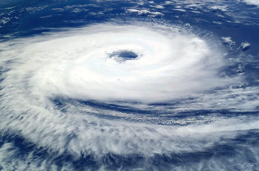
Photo provided by Indomet meteorologist Cristopher Florian.
However, he warned that there is a model that contemplates a possible impact or passage south of the Dominican Republic. “We must take this into consideration and continue to monitor the information, as these phenomena are quite erratic and could even change any of the current forecasts,” he noted.
Currently, the tropical disturbance has a 60% chance of developing into a tropical cyclone within the next 48 hours, and a 90% chance of becoming a cyclone within seven days.
The expert explained that the sea surface temperature, which ranges between 27 and 28°C, exceeds the 26.5°C required for such a system to develop. If it becomes a tropical storm, it would be named Gabrielle.