
Cartographic Institute project sparks alarm in Pedernales
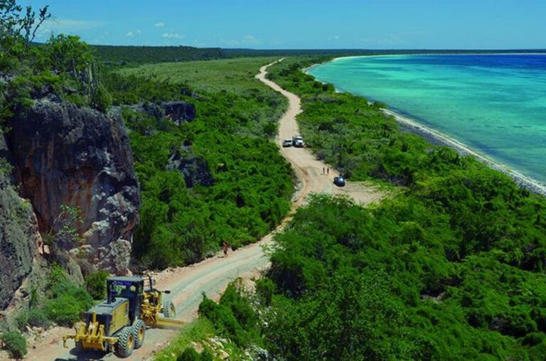
Pedernales.- A proposal presented by the Cartographic Institute has sparked controversy in Pedernales, where local leaders warn that the project could reduce the province’s territorial boundaries and transfer part of its land to Barahona. Currently, Pedernales has an estimated extension of 2,074–2,080 km², ranking as the seventh-largest province in the Dominican Republic.
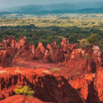
Located in the Enriquillo region, Pedernales borders Haiti, Independencia, Barahona, and the Caribbean Sea, making it a territory with high tourism potential due to its coastline, beaches, and natural resources. Community members, however, denounce the proposed modification as serving “dark interests” aimed at seizing strategic areas of growing economic value.
In a statement shared on social media, local leaders warned that the new boundaries would no longer extend from Los Cocos Bridge to a point near Juancho School, significantly reducing the province’s jurisdiction. They accused politicians and interest groups of trying to appropriate land rich in agricultural, environmental, and tourism resources. Residents called on provincial and national authorities to intervene, describing the initiative as an attack on the territorial integrity of Pedernales, according to El Nacional.


Setting up the board for land grabs that will favor……