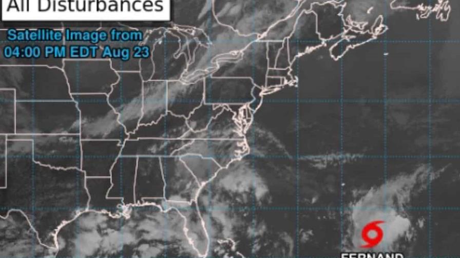
The U.S. National Hurricane Center reported that Tropical Storm Fernand formed Saturday afternoon, located about 665 kilometers south of Bermuda.
In an initial storm advisory, the U.S. agency said the storm was moving north at about 24 kilometers per hour.“Satellite data indicates Fernand’s maximum sustained winds are near 40 mph (65 km/h), with higher gusts. Some strengthening is forecast during the next 48 hours. Fernand could reach hurricane strength by Monday,” the report said.
According to the National Hurricane Center , the storm is expected to weaken on Tuesday.
Conditions in the DR
The Dominican Institute of Meteorology ( Indomet ) reported that, due to the position and movement of this system, it does not represent a danger to the Dominican Republic.
Regarding local conditions, the agency indicated that the interaction of a tropical wave located over the central portion of the country with a high-altitude trough continues to generate cloud cover accompanied by showers, thunderstorms, and gusty winds.
The rains affect provinces such as La Altagracia, La Romana, El Seibo, San Pedro de Macorís, Hato Mayor, Monte Plata, Sánchez Ramírez, Duarte, La Vega, Santiago, Monseñor Nouel, Azua, San José de Ocoa, San Juan, Santiago Rodríguez, Dajabón, Elías Piña, Pedernales, among other nearby provinces.