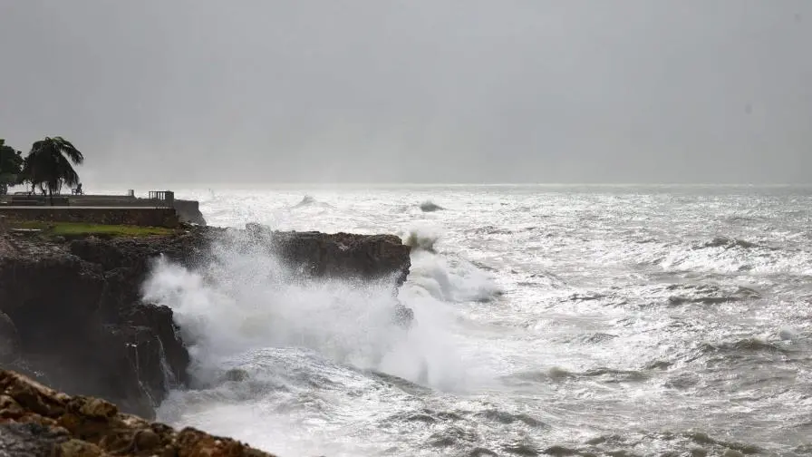
Indomet warns of dangerous waves on the Atlantic Coast
The Dominican Institute of Meteorology (INDOMET) reported yesterday morning that it did not expect significant accumulated rainfall over much of the Dominican territory.
Consequently, Saturday was mostly sunny.
For today, some morning showers are forecast for specific Atlantic coastal locations, due to cloudiness associated with the dissipating frontal system in the northeast of the country. In the afternoon, a trough and local effects will lead to rainfall of varying intensities and frequencies, as well as isolated thunderstorms and gusty winds, primarily over various provinces in the southeast, north, and border regions.
Cyclonic activity in the Atlantic basin, the Caribbean Sea, and the Gulf of Mexico or America:
- We are reporting a low-pressure area located near the northwestern Bahamas. It has a low probability (10%) of developing into a tropical cyclone in the next 7 days.
- We also report a tropical wave that will be moving off the western coast of Africa in the coming days and has a 50% chance of developing into a tropical cyclone.
Due to the warm southeasterly wind, temperatures will remain high. Therefore, we suggest drinking plenty of water, wearing light-colored, lightweight clothing, and avoiding prolonged sun exposure without protection, especially from 11:00 a.m. to 4:00 p.m.
National District: Mostly sunny skies. In the afternoon, we expect occasional clouds accompanied by local showers, isolated thunderstorms, and possible gusty winds.
Santo Domingo Norte: Partly cloudy at times, mainly in the afternoon. Local showers, isolated thunderstorms, and possible gusty winds.
Santo Domingo East: Light clouds in the morning. However, we expect occasional local showers, isolated thunderstorms, and possible gusty winds in the afternoon.
Santo Domingo Oeste: Few clouds in the morning. However, we expect occasional local showers, isolated thunderstorms, and possible gusty winds in the afternoon.