Get ready! The weekend weather brings surprises.
A trough strengthened by humid winds will be responsible for extending rainfall in the Dominican Republic from today until Saturday: it will be moderate rain, but at times some heavy downpours could develop.
This was the warning issued by meteorological analyst Jean Suriel through his social media.
“In recent days we have experienced an increase in the perceived temperature between 10 AM and 4 PM due to an east-southeast wind flow, generated by a high-pressure system in the Atlantic,” he explained.

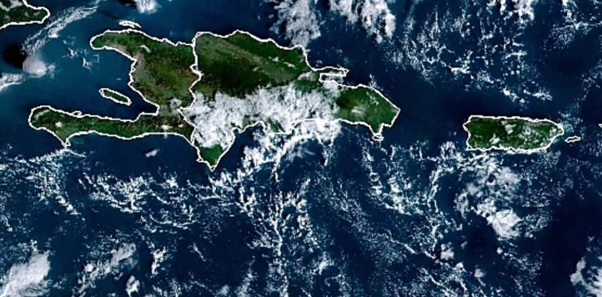
Images of the
He also reported that, even so, the nights and early mornings have remained cool in much of the Dominican territory due to the frontal season and the winds from the Atlantic during the night period, between 7 PM and 8 AM.
According to Suriel, moderate rainfall is expected today in the south, southeast, Central Mountain Range, north, northeast, and border areas. These rains could develop both in the afternoon and at night due to the trough’s effects.
“For this Friday, there will continue to be a chance of scattered showers in the morning towards the south, southeast, and northeast; but after midday, heavier downpours will increase, raising the potential for some urban flooding,” he said.
He also predicted that the trough will continue to affect much of the country on Saturday, with more rainy periods: precipitation will begin in the morning and be more significant in the afternoon.
“The trough is expected to weaken by Sunday, so the rains will decrease in intensity and frequency: the remnants of the system could generate some showers in the morning and around midday. Rainfall will be less on Monday,” he concluded.

Images of the valley